
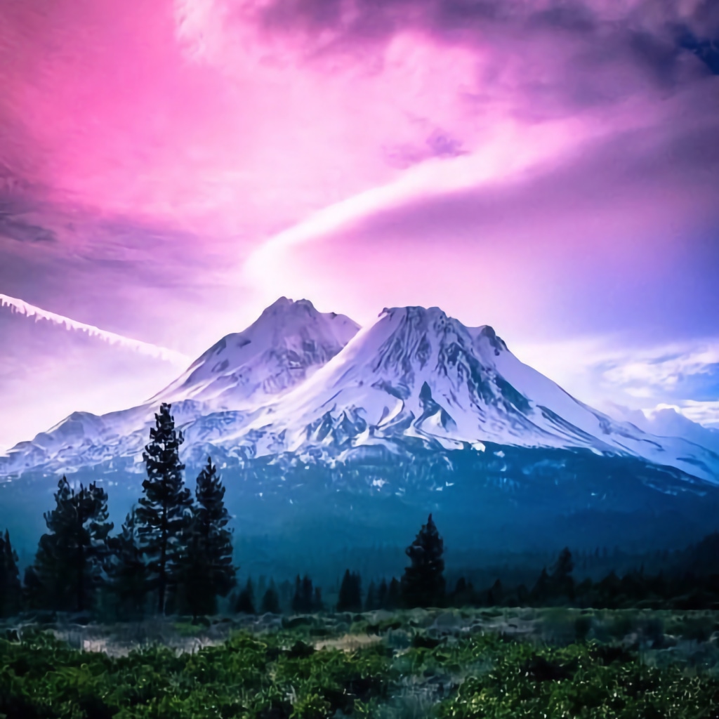
This will serve as our centralized planning doc for our forthcoming Shasta Summit Expedition, which we are aiming to complete in the Mar/April 2024 window.
This is a mountaineering expedition, with technical segments — not a hike.
| Mission Objective | Mount Shasta Summit | |
| Routes | Casaval Ridge > ShastaAvalanche Hotlum-Bolam > AllTrails Avalanche Gulch > AllTrails |
|
| Difficulty Rating | Technical, varied (see below) | |
| Summit Elevation | 14,160 ft / 4,320 m | |
| Trailheads | 6,900 ft | |
| Vertical Gain | 7,300 ft | |
| Distance | 7 – 11 miles round trip | |
| Trip Window | Mar 15 – April 30, 2024 | |
| Weather Forecast | > Mountain Forecast / Shasta | |
| Avalanche Forecast | > ShastaAvalanche.org |
Shasta Summit : Route Selection:
Mount Shasta, located in Northern California, is a challenging mountaineering destination with dozens of summit routes that vary in both terrain and technical difficulty. Here are some of the most well-known mountaineering routes to the Mount Shasta Summit:
- Casaval Ridge [hard]: [details / pics] A more technical and highly exposed route, best in winter and early spring. Climbers must be skilled in using ice axes and crampons and be comfortable with steep, icy terrain.
. - Hotlum-Bolam Ridge [medium]: [details / pics] [AllTrails] This is at present our lead candidate. 13 miles out-and-back. Located on the north/northeast face of Mount Shasta, this is a less-crowded route that provides a mix of snow and ice climbing with some technical rock sections.
. - Avalanche Gulch Route [easy]: [details / pics] [AllTrails] This is the most popular and straightforward route, often considered the standard route up the mountain. It’s non-technical but still strenuous and involves glacier travel with potential for avalanche risk.
.
Those are our Top 3 candidates.
other possible routes include:
. - West Face: This route offers a more solitary climb and can be a great alternative to Avalanche Gulch. It is similar in difficulty to Avalanche Gulch but with fewer people.
- Clear Creek Route: The easiest technical route on the mountain, it’s a non-glacial climb but still requires proper acclimatization and caution due to loose rock and potential for high winds.
- Hotlum-Wintun Ridge: This route is on the eastern side of the mountain and offers a moderate climb, often with good snow conditions for most of the ascent.
- Green Butte Ridge: This is a challenging route with a combination of steep snow and ice conditions, and it’s often used by climbers seeking a more difficult ascent than Avalanche Gulch.
- Sargents Ridge: Another technical route with rock, snow, and ice, it requires solid mountaineering skills and good route-finding abilities.
- Brewer Creek Route: This eastern route is less traveled and offers a wilderness experience. It’s less technical than some of the other routes but requires a long approach.
(thanks for that list, ChatGPT)
Shasta Summit: Odds of Success
roughly 15,000 people attempt to summit Mount Shasta annually (that’s approx 40 people a day, though pragmatically, numbers tend to swell in summer (> 200 people/day) and dwindle dramatically in winter (<4 people/day).
Of that 15,000, roughly 5,000 actually summit. That’s about a dozen people a day.
So, all other things aside, a human who attempts the summit has a 33% chance of making it.
Since being measured in the early 1900s, roughly 65 deaths have been reported on the slopes of Shasta. This equates to roughly one death every two years. In practice, fatalities tend to occur in clumps — entire teams are taken out by blizzards or avalanches, as in the 4 who died (plus another 16 rescued) on Shasta in 2022/23.
Top Hazards en route to Shasta Summit:
- Avalanche
- Rockfall (helmet)
- Crevasse (simul rope up / probe)
- Weather (blizzard / high wind)
Shasta Summit Route Beta
Casaval Ridge (hardcore)
This is just a straight balls-out romp up the key ridgeline that separates Avalanche Gulch (to the east) and the West Face. There is advanced 4-class rock, but no technical (5-class). However, exposure is severe along the multiple rock ridges, and falls are lethal.

solid avalanche scouting reports on ShastaAvalanche.org
Hotlum-Bolam Ridge Route:
pretty much looks like straight up the North Face. Forest > Snow > Ice > Rock. Checks out.
from AllTrails:
perhaps more importantly, from a 2021 summit:
“do not try this route without ice screws and advanced ice climbing knowledge.
you cannot self arrest on ice. [GR: not totally true, but it is far more difficult].
if you are planning this route either be prepared for blue ice or do the clear creek route, but either way protection is needed.
Roping together as a team is not enough.”
This image is looking due south from the air:
(simulated: satellite imagery projected onto 3d gemoetry)

zooming in to the top of the route, looks like a straight haul up the snow and ice, with perhaps some real rock climbing closer to the summit:

final ice + rock to summit push does look quite steep (I think 3D exaggerates slope, but topo tells no lies)
(we’ve spun the camera; the shot below is as seen from the west, looking due east)

Avalanche Gulch Route:
aerial route pre-viz:

looking up the route from just above treeline:

G R E G O R Y ‘ S . M O U N T A I N S