
This will serve as the centralized planning doc for our forthcoming Mount Whitney Summit Expedition, which we are aiming to complete in Jan 2025. This is a mountaineering expedition, with technical segments — not a hike.
| Mission Objective | Mount Whitney Summit | |
| Route | Mountaineer’s Route > AllTrails | |
| Difficulty Rating | Technical, Moderate | |
| Summit Elevation | 14,500 ft / 4,420 m | |
| Trailhead | 8,370 ft | |
| Vertical Gain | 6,100 ft | |
| Distance | 8.8 miles round trip | |
| Trip Window | Jan 16-20, 2025 | |
| Weather Forecast | > Mountain Forecast / Whitney |
Details
Team: David, Marco, Gregory
Days on Mountain: 3-4
High Camp: Iceberg Lake (preferred),
Upper Boy Scout Lake (minimum)
Alpine Start Trailhead: from Whitney Portal, 0400 (4am) start.
Alpine Start Summit Day: From Iceberg, 0500 (5am) start.
from UBSL, 0200 (2am) start.
Alternate Routing: Whitney Zone Circuit, up via Mountaineers Route (4.4 miles, +6100 ft vertical), down via Whitney Hiking Trail (10.6 miles, many switchbacks, possible glissade shortcuts). Note that with this option, we would either need to carry full packs to summit (bad idea, imho), or hike back up to base camp from trailhead at conclusion, to retrieve gear (preferred).
Nearest Food / Lodging: Lone Pine, CA
Water: some streams at lower altitude, melt snow above 9k feet.
Permits: unlimited (no cap), online. $21 per person.
Elevations:
| Santa Monica | sea level | |
| Lone Pine | 4,200′ | |
| Alabama Hills Campsite | 4,400′ | |
| Lone Pine Campsite | 5,800′ | |
| Whitney Portal Campsite | 7,900′ | |
| Whitney Trailhead | 8,200′ | |
| LBSL / Lower Boy Scout Lake | 10,200′ | |
| UBSL / Upper Boy Scout Lake | 11,400′ | |
| Iceberg Lake | 12,700′ | |
| Mt. Whitney Summit | 14,500′ |
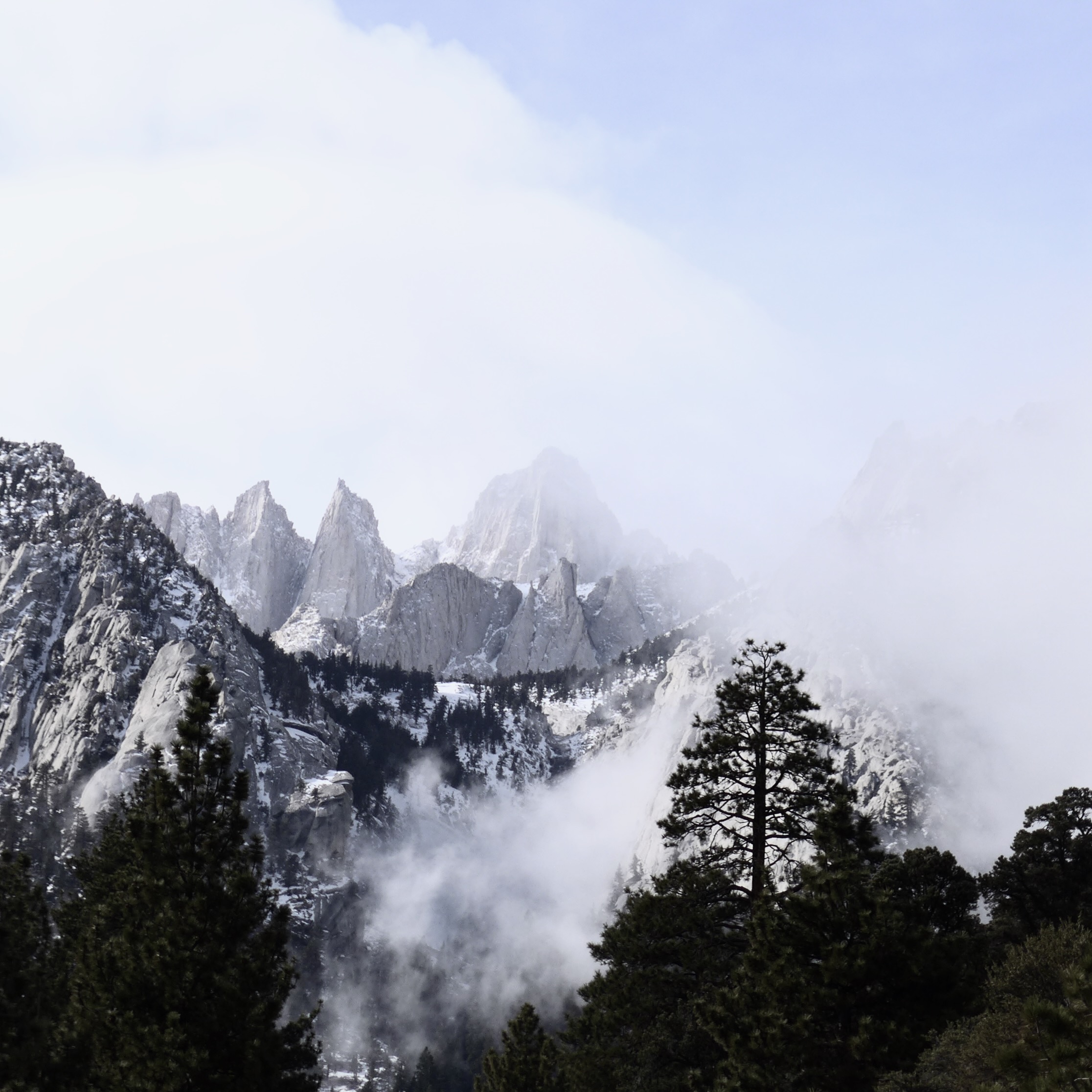
Mount Whitney Summit Pre-Viz
topo of final summit segment:
(the couloir is steep: ~40-55° slope, rock, snow & ice):

3D route plan of final summit segments. this is a 3d satellite view, looking northwards, showing the entire day 2 route of Upper Boy Scout Lake, to Iceberg Lake, up the couloir, to the summit (final bouldering / rock climbing 400′ vertical route is obscured behind peak) :

Frontal 3D sat view, as seen from the east looking west. This is *approximately* what you see from the valley approaching Iceberg Lake (well, prolly from ~3k feet above deck). From here, you can see the steepness of the couloir, which is roughly an 1,100 foot elevation gain at 50° slope.

Aerial Photos of Couloir / Notch / Final Climb Ascent:

Three options for final push to Mount Whitney Summit: (bouldering / steep scramble / technical climbing). IMPORTANT NOTE: The “easy” switchback traverse (blue route on pic) is often completely impassable in winter, due to total coverage in snow/ice. Plan accordingly.

Aerial photo of final rock climbing to summit plateau (green route). Note that there are infinite paths available up this rock face, ranging anywhere from class IV to 5.11 (my own guesses at ratings, consult your own guidebook / climber’s intuition). Choose your own adventure.

Basic Schedule: Camps & Climbs

…See you on the Mountain!
(or better yet, at our expedition pre-planning meeting)
.
* * *
G R E G O R Y ‘ S . M O U N T A I N S